/ Agricultural machinery, equipment, inventory / Agricultural equipment, inventory / Systems of precision agriculture / I will sell a monitor (display, console for a pointer...
Sell / buy
Buy (used)
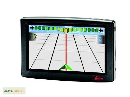
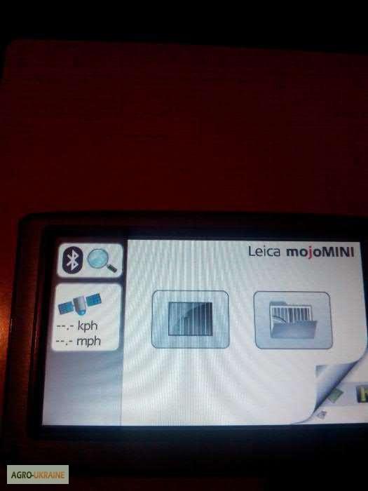
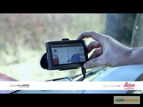
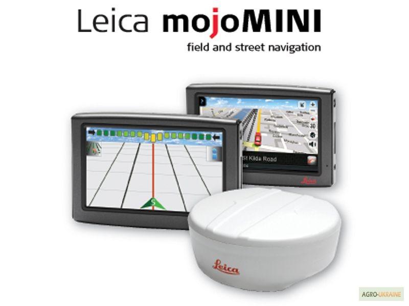
I will sell a monitor (display, console for a pointer, agronavigator) Leica mojomini used, Kyiv
Price14,000 UAH.
Region:all of Ukraine,
Kyiv
(Kyiv)
Updated:
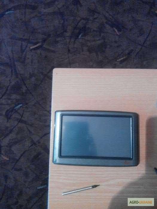
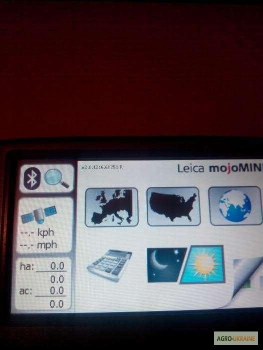
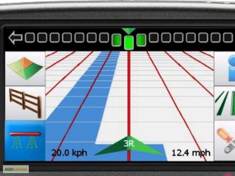
I will sell a display (monitor, console, navigator) forparallel driving system (to a course guide, agronavigator) Leica mojoMINI 1. The display is in good condition, the latest firmware is installed (road navigation is already installed in it, which speeds up the operation of the system and does not take up the volume of internal memory, and also does not allow the display to be used outside thetractor, which reduces the risk of mechanical damage and theft), works without complaints! I will give a guarantee. The price is adequate, as the displays themselves are very difficult to find!
Characteristics and specification of Leica mojoMINI:
Характеристики и спецификация Leica mojoMINI:
- 11 cm color touch screen
- Built-in loudspeaker
- Supply from 12-24 V
- Built-in battery for autonomous operation of about 2 hours
- Built-in GPS receiver
- Agronomic calculator
- DGPS receiver Leica SmartAg
- Frequency - 20 Hz!
- GLIDE technology for high accuracy!
- Power supply 12-24 V
- 14 L1 GPS channels
- SBAS (for WAAS, EGNOS, etc.)
- Accuracy between lines + / - 12.5 cm
- 5 m of power cord
- Magnetic or simple fastening.
Navigation in the field
- Automatic Bluetooth ® connection to Leica SmartAg
- Different modes of parallel driving:
1) AB straight parallel lines
2) A + direction (angle)(//tractor-service.com)
3) Contour parallel lines (curves)
- Three-dimensional 3D navigation image
- Imitation of LEDs
- Day and night mode of operation.
- Signal accuracy indicator
- Setting the distance between lines in meters.
- Speed indicator in km/h.
Car navigation
- Built-in GPS receiver
- Automobile maps of almost all countries of the world (on SD memory card)
- Sequential navigation
- Voice navigation (in many languages)
- Improved warning system in front of alleys
- Database of objects (gas stations, hotels, etc.)
- Address search by location, streets and zip codes
- Navigation to the destination using the map
- Ability to quickly determine the route based on criteria:
1) The fastest
2) The smallest
3) Pedestrian
- Ease of changing the route
- Three-dimensional and two-dimensional image of the map with orientation in the direction of movement
- Automatic change of day and night screen modes.
Характеристики и спецификация Leica mojoMINI:
- 11 cm color touch screen
- Built-in loudspeaker
- Supply from 12-24 V
- Built-in battery for autonomous operation of about 2 hours
- Built-in GPS receiver
- Agronomic calculator
- DGPS receiver Leica SmartAg
- Frequency - 20 Hz!
- GLIDE technology for high accuracy!
- Power supply 12-24 V
- 14 L1 GPS channels
- SBAS (for WAAS, EGNOS, etc.)
- Accuracy between lines + / - 12.5 cm
- 5 m of power cord
- Magnetic or simple fastening.
Navigation in the field
- Automatic Bluetooth ® connection to Leica SmartAg
- Different modes of parallel driving:
1) AB straight parallel lines
2) A + direction (angle)(//tractor-service.com)
3) Contour parallel lines (curves)
- Three-dimensional 3D navigation image
- Imitation of LEDs
- Day and night mode of operation.
- Signal accuracy indicator
- Setting the distance between lines in meters.
- Speed indicator in km/h.
Car navigation
- Built-in GPS receiver
- Automobile maps of almost all countries of the world (on SD memory card)
- Sequential navigation
- Voice navigation (in many languages)
- Improved warning system in front of alleys
- Database of objects (gas stations, hotels, etc.)
- Address search by location, streets and zip codes
- Navigation to the destination using the map
- Ability to quickly determine the route based on criteria:
1) The fastest
2) The smallest
3) Pedestrian
- Ease of changing the route
- Three-dimensional and two-dimensional image of the map with orientation in the direction of movement
- Automatic change of day and night screen modes.
|
Author, contacts | |
Dimon2140 / feedback, info. / rating of activity | |
|
Phone:
+380xxxxxx
show
| |
All user ads ~39 | |
Ad ID: #637226
(added by a registered user, registration date: 05-10-2016)
Added/Updated: 09-21-2026 13:08 (current, until: 09-21-2027)
Permanent Ad Address:
Impressions / views for today: ?, total: ?
Similar ads
There are many interesting ones among them...
Filters: Parallel driving systems




Total113 similar adsin the section "Precision farming systems"
All Ukraine: Agricultural machinery, equipment, inventory 45593 / Agricultural equipment, inventory 1552 / Precision systems agriculture 113